Are you looking at land or a home in Somerset and wondering where the true property lines are, or how to split off a buildable lot? You are not alone. Lot surveys and Certified Survey Maps can feel technical, yet they are key to a smooth purchase and future plans. In this guide, you will learn the survey types that matter, how CSM approvals work in Somerset and St. Croix County, what to check on a map, and the steps, timelines, and costs to expect. Let’s dive in.
Survey types you need to know
Boundary survey
A boundary survey locates and marks the actual corners and lines of a parcel based on the legal description and physical monuments. It shows bearings and distances, found or set pins, and how improvements sit in relation to the lines. If you want certainty about fences, driveways, or new construction, this is the survey to order.
Mortgage or plot survey
Lenders often request a mortgage or plot survey to confirm where buildings and other improvements sit relative to property lines. These are typically less detailed than an ALTA/NSPS survey. They can flag obvious encroachments, but may not show every title-related item.
ALTA/NSPS survey
An ALTA/NSPS survey follows national standards and includes detailed title matters, easements, and improvements. Lenders commonly require this for commercial or higher risk residential purchases. If your parcel is unusual or high value, or if title exceptions are complex, this extra detail may help.
Certified Survey Map (CSM)
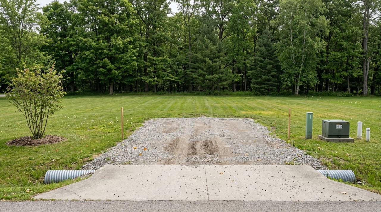
A CSM is a formal, surveyed map used across Wisconsin to divide or reconfigure parcels when a full subdivision plat is not required. A licensed surveyor prepares the CSM, which shows new parcel lines, easements, and any dedications. After county and typically municipal approvals, it gets recorded and becomes the official legal description.
How CSMs work in Somerset
Inside the Village of Somerset, municipal zoning and land division rules apply. In unincorporated areas, St. Croix County Land Use & Resource Management oversees zoning, land division, and shoreland or floodplain rules. Most CSMs require review by both the county and the municipality if the property sits within village limits.
A typical CSM path includes a pre-application discussion, drafting by a Wisconsin-licensed surveyor, and submittal for review. County staff and the Village Plan Commission or Board may sign off. Once approved, the CSM is recorded with the St. Croix County Register of Deeds and the new parcels are established for title.
Local factors can affect approvals. Near the St. Croix River or mapped wetlands, shoreland rules and setbacks can be stricter. FEMA flood zones may trigger elevation or floodproofing requirements. Zoning also sets minimum lot size, frontage, and setback standards, and access may require road frontage or an approved easement. Septic system and reserve area needs can influence whether a proposed lot is viable.
Buyer checklist: reading a survey or CSM
Use this list to review any survey or CSM like a pro:
Identification and provenance
- Check the survey date and any revisions, plus the surveyor’s name, license number, and seal.
- Confirm the legal description and parcel ID. CSMs should include approval and recording blocks.
Boundaries and monuments
- Review the bearings and distances for each line.
- Look for noted monuments or pins, whether found or set, and any missing corners.
Improvements and encroachments
- Locate the house, garage, decks, fences, pools, and driveways relative to the lines.
- Flag any encroachments or overlaps with neighbors that may need resolution.
Easements and rights-of-way
- Identify recorded easements for utilities, drainage, or access, including widths and limits.
- Note any road right-of-way dedications and whether frontage is public or private.
Setbacks and zoning notes
- Look for building setback lines and the zoning district, when shown.
- Check any notations on minimum lot size or other municipal requirements on a CSM.
Environmental and hazard notes
- Review any floodplain limits, wetland notes, or other natural constraints.
- On rural parcels, confirm the location of the well and septic and any reserve area if shown.
Title and exceptions
- Read surveyor notes referencing recorded documents like easements by instrument number.
- Ask about any unresolved boundary questions or recommended follow-up.
Map clarity items
- Confirm the scale, north arrow, legend, and basis of bearings.
- Make sure distances and bearings are clearly labeled and understandable.
Your step-by-step plan
Before you write an offer
- Ask the seller for any existing survey, CSM, or recorded plat, and review the current deed.
- Check county records for prior CSMs, easements, and covenants. The Register of Deeds is the source for recorded documents.
- If the property is near water or low areas, review FEMA flood maps and county shoreland and floodplain information.
At offer and contract stage
- Include a contingency that lets you obtain and approve a new survey and review title exceptions and encroachments.
- Confirm with your lender if a survey is required and what type they will accept.
When to order a new survey
- Order a boundary or ALTA/NSPS survey if no recent survey exists, if improvements are new, if boundaries are in doubt, or if your lender requires it.
- If you plan to split land, engage a Wisconsin-licensed surveyor early. The surveyor typically drafts the CSM and coordinates submittals with the county and the Village of Somerset when needed.
Who typically pays
- Buyers often pay for surveys required by the lender or desired for peace of mind. Sellers may provide an existing survey during disclosures.
- For land divisions, the party proposing the split, often the seller or current owner, usually pays for the CSM and approval process.
Timeline and cost expectations
- Boundary or plot surveys can take 1 to 4 weeks. An ALTA/NSPS survey often takes 2 to 6 weeks, depending on title research and site complexity.
- A CSM can take several weeks to several months due to pre-application steps, meeting schedules, agency reviews, and recording. Confirm current timelines with St. Croix County LURM, the Village of Somerset, and your surveyor.
- Costs vary by parcel size, terrain, and research needed. Obtain written estimates from Wisconsin-licensed surveyors who work in St. Croix County.
Recording and title
- After approval, the CSM is recorded and becomes the official legal description for the new parcels.
- Your title company updates the commitment and legal description. Survey-based exceptions and recorded easements may remain, so plan to address them before closing.
Common pitfalls and how to avoid them
- Fence lines vs. legal lines. Fences are often not on the legal boundary. A current survey confirms the true line and helps you resolve issues before closing.
- Relying on old surveys. Missing pins, changed improvements, and outdated references can create risk. Ask for a recent survey by a local, licensed professional.
- Ignoring encroachments. If a driveway or structure crosses a line, negotiate a fix before closing, such as an easement, modification, removal, or price credit.
- Subdividing without approvals. Creating new lots without a CSM or plat can make property unbuildable or subject to enforcement. Meet with St. Croix County LURM and the Village early.
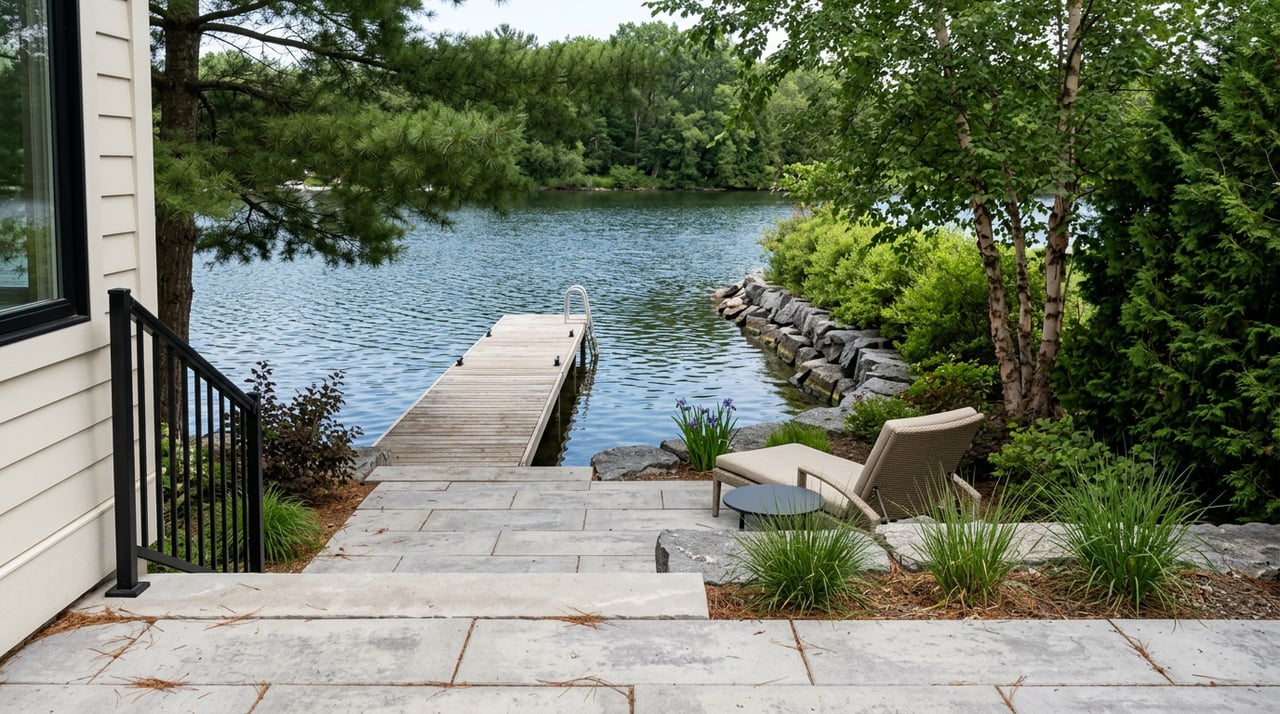
- Overlooking floodplain, shoreland, or wetlands. Properties near the St. Croix River or low areas may face stricter standards. Verify flood zones and shoreland rules and plan for elevation or permitting needs.
- Skipping title exceptions. Work with your title company or attorney to understand survey-related exceptions and any curative steps required.
Working with local resources
To move efficiently, build a local team and a simple checklist.
County and village planning
- St. Croix County Land Use & Resource Management for zoning, land division, floodplain and shoreland guidance, and county GIS.
- Village of Somerset planning for local zoning, setbacks, and municipal approvals inside village limits.
Records and research
- St. Croix County Register of Deeds for recorded surveys, deeds, easements, and prior CSMs.
Professionals
- A Wisconsin-licensed land surveyor active in St. Croix County for quotes and scheduling.
- Your title company or a real estate attorney for title commitments, easements, and survey exceptions.
- For environmental constraints, consult the Wisconsin DNR and review FEMA Flood Insurance Rate Maps.
Make your Somerset purchase smoother
A clear survey and a well-planned CSM can save you time, money, and stress. With the right steps, you can confirm boundaries, spot easements and floodplain issues early, and avoid surprises at closing. If you are weighing a land split or a home near the St. Croix River, start with a current survey and a quick call to county and village planning staff.
If you want a calm, organized path from offer to keys, our team is here to help you coordinate the right survey, build smart contingencies, and connect with trusted local pros. Reach out to the Platinum Real Estate Team to take your next step with confidence.
FAQs
What is a Certified Survey Map in Wisconsin?
- A Certified Survey Map is a surveyed document prepared by a licensed surveyor to divide or reconfigure land without a full subdivision plat, and it becomes the official legal description after county and, if applicable, municipal approval and recording.
Do I need a survey to buy a home in Somerset, WI?
- You should obtain a current survey if boundaries, easements, or encroachments matter to you, and your lender may require one for mortgage security even if a prior map exists.
How long does a CSM take in St. Croix County?
- The CSM process often takes several weeks to several months due to pre-application steps, county and village reviews, meeting schedules, and recording timelines.
How do floodplains affect buying near the St. Croix River?
- Properties in FEMA flood zones or shoreland areas may face stricter setbacks, elevation, or floodproofing requirements, so verify mapping and regulations before you finalize plans.
Who pays for surveys and CSMs in a Somerset transaction?
- Buyers commonly pay for new surveys they need, while the party proposing a land split typically pays for the CSM preparation and approval process.
What if the survey shows an encroachment?
- Address it before closing by negotiating an easement, modification, removal, or price concession, and confirm the title company will accept the resolution.